Digitization of geospatial solutions

Last week On the 22. and 23. of Septembre, the 50th anniversary Geodetic Day took place in Velenje The traditional panel of experts from the broader field of geodesy, geoinfromatics and spatial planning was held this year under the slogan “Digital transformation for sustainable spatial decisions”.
New projects, new colleagues

We are looking for a geodesist and a qualified accountant. If you recognise yourself in the job descriptions posted in the Jobs section, please send us an application with your CV to zaposlitev@flycom.si.
New arrival – DA42 MPP GeoStar aircraft

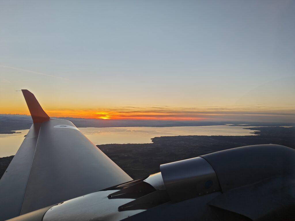
Flycom Technologies is completing 2022 with a major addition – another DA42 MPP aircraft, which will enable us to further strengthen our role as a key player in the acquisition of aerial spatial data in Slovenia and abroad.
The company has successfully obtained ISO 14001 quality certification

This year, we have successfully upgraded our environmental management policy – we have obtained ISO 14001 quality certification, which is an environmental management system.
We are forming part of the EAASI

By participating in the association, we entered the European map of remote sensing companies.
Cooperation with the Faculty of Civil Engineering and Geodesy
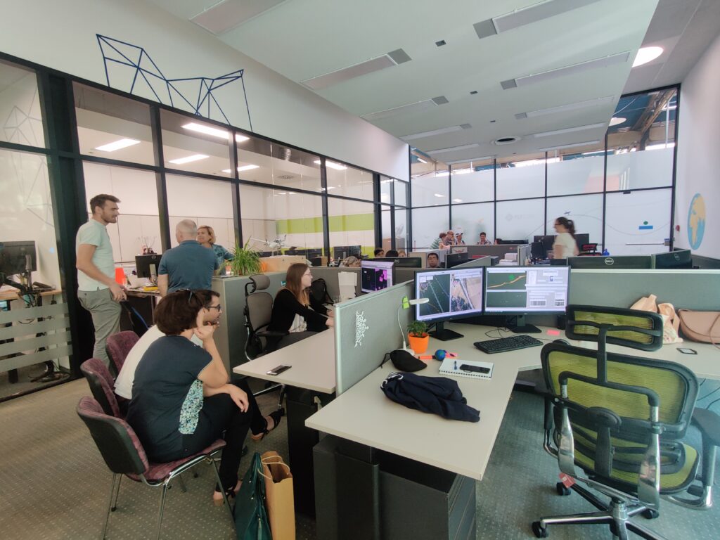
Good relationship with academic sphere is crucial for Flycom Technologies. We are aware of the importance of connecting and exchanging expertise, experience, examples of good practice and knowledge on market demands, which makes services and products better, more innovative and more competitive.
Engagement with the local community is an important pillar of our corporate social responsibility policy

Through cooperation, we promote the employment of hard-to-employ and vulnerable groups, strive to use more environmentally friendly materials and contribute to the dynamic development of the local community.
Laser airborne surveys of the Austrian Länder of Carinthia and Styria
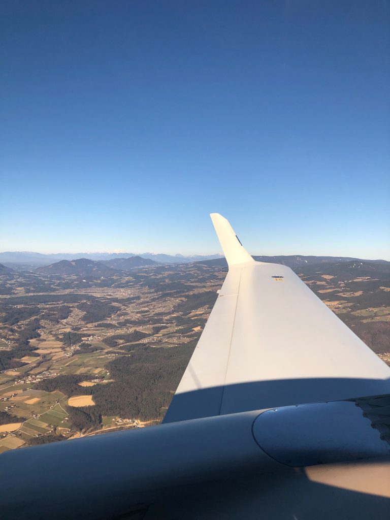
The project is a two-year project and, in addition to the laser scanning of a total area of about 7000 km2, a key part of the project is the classification of the point cloud and the implementation of a digital elevation model of part of the lands in the south of Austria.
Digital transformation of Flycom Technologies

Through co-financing of the Digital Transformation operation, we will also establish new software for spatial data processing and, through various activities, ensure greater cyber security of the company.
Mobile laser scanning of Ljubljana’s road network
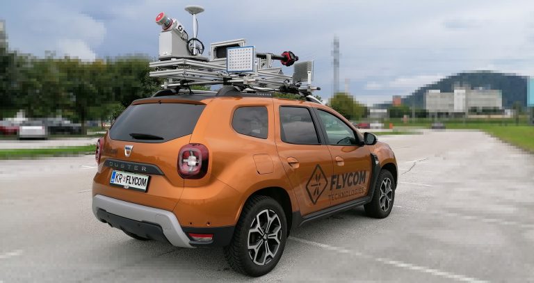
In the City of Ljubljana, municipal roads will be recorded by May 15 with mobile laser scanning (MLS) and spherical photography (SF).
Thermographic inspections of transmission lines to reduce power losses
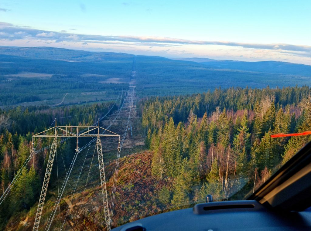
At Flycom Technologies, we use the latest technology in thermography to quickly and efficiently diagnose and interpret faults in power supply equipment.
Multisensor aerial survey of the Republic of Croatia
Flycom Technologies is part of an international consortium that signed a contract with the State Geodetic Administration of the Republic of Croatia at the end of 2021 for the project “Multisensor Aerial Survey of the Republic of Croatia for Natural Disaster Risk Assessment”