


We use the best of what it is to bring you closer to the key geospatial data that will help shape the future.
It combines geospatial data capture using aircraft, helicopters and unmanned systems.
Airborne laser scanning.
Geometrically corrected and georeferenced photographs.
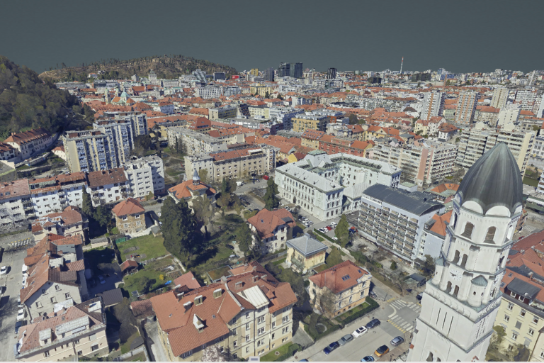
A three-dimensional representation of the surface.
Design, simulation and optimisation of buildings and infrastructure.
Demonstration of flood, landslide, fire and noise simulation.
Using advanced lasers, high-resolution cameras and sensors to provide a comprehensive overview of networks and provide accurate insight, analysis and measurements.
Identification of thermal anomalies.
Identification of UV anomalies and damage to materials.
Visual (RGB) inspections, detection of material damage and mechanical defects.
Visual (RGB) inspection and LiDAR capture for a complete overview and accurate measurements.
Use of dedicated vehicles and equipment to collect spatial and environmental data directly from the field.
Mobile laser surface scanning.
Collection of georeferenced pictures and videos.
A detailed description of the types of infrastructure.
Accurate representation of horizontal and vertical traffic signalling.
Preparation of project documents and collection of public utilities.
Damage detection and assessment of road damage.
This website uses cookies to enhance your experience. Some are essential for site functionality, while others help us analyze and improve your usage experience. Please review your options and make your choice.
If you are under 16 years old, please ensure that you have received consent from your parent or guardian for any non-essential cookies.
Your privacy is important to us. You can adjust your cookie settings at any time. For more information about how we use data, please read our privacy policy. You may change your preferences at any time by clicking on the settings button below.
Note that if you choose to disable some types of cookies, it may impact your experience of the site and the services we are able to offer.
Some required resources have been blocked, which can affect third-party services and may cause the site to not function properly.
This website uses cookies to enhance your browsing experience and ensure the site functions properly. By continuing to use this site, you acknowledge and accept our use of cookies.