Our team of experts at INTERGEO 2023
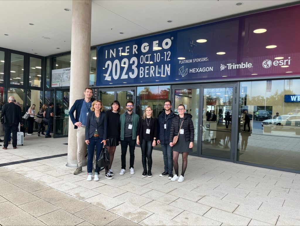
Our entire team is focused on keeping up to date with the latest trends in remote sensing. We are committed to providing cutting-edge solutions and innovations in this field and to continuously educating our staff. This is why we participate every year at INTERGEO, Europe’s largest conference. We believe that this approach is key to […]
About the Pilot-Demonstration Project in Finance

Flycom Technologies in collaboration with consortium partners Irnas and C-Astral, has secured co-financing for the implementation of the pilot-demonstration project, LIFT Forest – eVTOL AI aimed at forest biomass analysis.
Aerial images of flood-affected areas accessible via GeoHub-SI
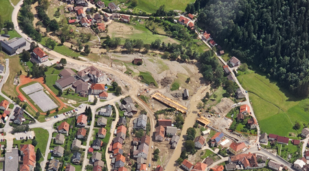
In early August, devastating floods struck Slovenia, significantly altering the landscape of several regions in the country. In an effort to provide transparency and assist in damage assessment, Flycom Technologies conducted aerial laser and photogrammetric surveys of the affected areas.
Aerial imagery of flooded areas is key to determining the extent of damage and changes in the land surface

Aerial footage of flood-affected areas we captured 7. and 8 August 2023 are key to determining the damage caused and the extent of changes in landscape.
Aerial Laser and Photogrammetric Scanning for Flood Damage Assessment
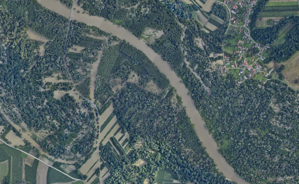
Starting on Monday, August 7th, we commenced aerial scanning of the flooded areas along the Mura River and in the Poljanska Valley (central Slovenia). Additionally, on Tuesday, August 8th, 2023, we captured imagery of the Savinja, Mislinja, and Meža areas. This collective effort spans an impressive 1,700 km2. In order to ensure broad usability of the acquired data, we are collaborating with a diverse set of stakeholders including planners, municipalities, and the Water Directorate, with the goal of defining common objectives and optimizing the timing of aerial scanning.
Flycom Technologies, Irnas, and C-Astral Secure Funding for Pilot-Demonstration Project
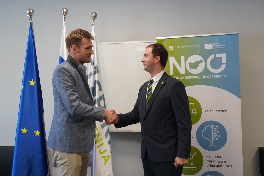
SPIRIT Slovenia, the public agency, received a total of 60 consortium applications in response to the call, but only approved funding for 21 projects. Among them is our project, LIFT Forest – eVTOL AI, aimed at forest biomass analysis.
Protecting biodiversity through cooperation between the private sector and local communities
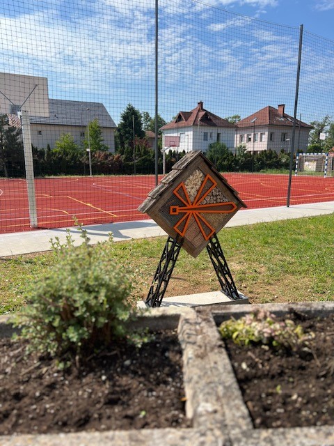
In cooperation with the Vincenc Draksler Foundation and the Municipality of Kranj, we have built an insect hotel next to the Stane Žagar Primary School, which is made from discarded school equipment.
LIFT Sentinel – LIFT Sentinel AI Terrain Detector

In the framework of the AI4Copernicus open call, we have secured funding for the development of a micro-project, LIFT Sentinel – LIFT Sentinel AI Terrain Detector.
Flycom Technologies obtained funding under the AI4Copernicus call
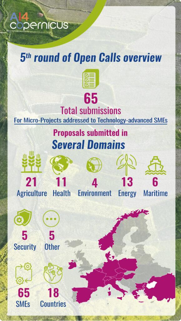
Our project, entitled LIFT Sentinel – LIFT Sentinel AI Terrain Detector, is one of the ten projects that received co-financing within the AI4Copernicus open call.
Therapy dog Rozi
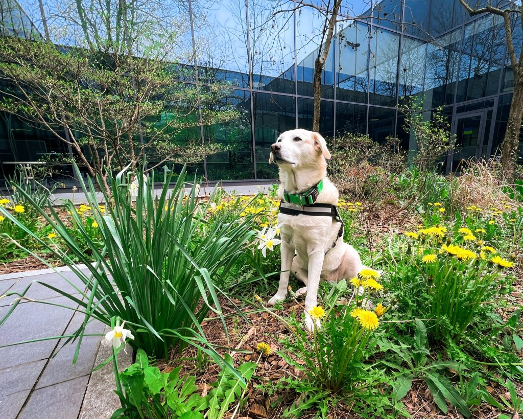
Rozi is a therapy dog and together with our colleague Klara Čevka they are volunteers at the PET INSTITUTE – Therapy Dog Unit. They are involved in therapy programmes and help small patients with rehabilitation. On Tuesdays, when they finish their occupational therapy, Rozi comes to the office and brightens up the coffee breaks. You […]
Pre-loved computers for new owners
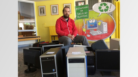
Our company has found new owners for end-of-life but still working computers and laptops. We donated the pre-used computers to the Association Duh časa, which prepared them for future use by children and others who cannot afford a computer.
Practical exchange of experience with PhaseOne representatives

In the last week of March, we had a visit from two representatives of PhaseOne from Copenhagen and Denver. The two experts in photogrammetric cameras, aerial imagery and flight operations participated in a spring shoot with the PAS880i oblique camera.