53. Geodetic Day
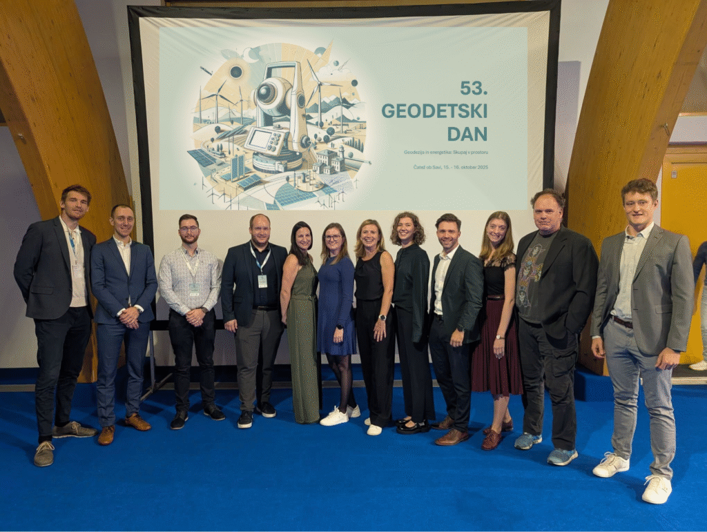
On October 15 and 16, the 53rd GEODETIC DAY took place in Čatež ob Savi. Interesting exhibitor presentations, professional networking and comprehensive lectures, which this year focused on the theme of geodesy and energy. As part of the lectures on the topic of energy in space, Anže Žnidaršič represented us with the lecture “Energetic Digital […]
It’s been an incredibly inspiring week in Frankfurt
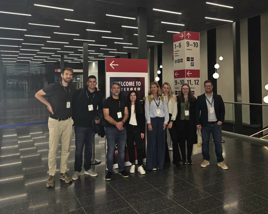
Last week, Frankfurt hosted INTERGEO 2025, the world’s leading trade fair for the geospatial industry. The event, which took place from October 7 to 9 at Messe Frankfurt, gathered more than 500 exhibitors from all over the world. The main themes were Digital Twins, the use of artificial intelligence in geodesy (Geo-AI), and sustainability solutions. […]
Cyclical Laser Scanning of Slovenia (CLSS)
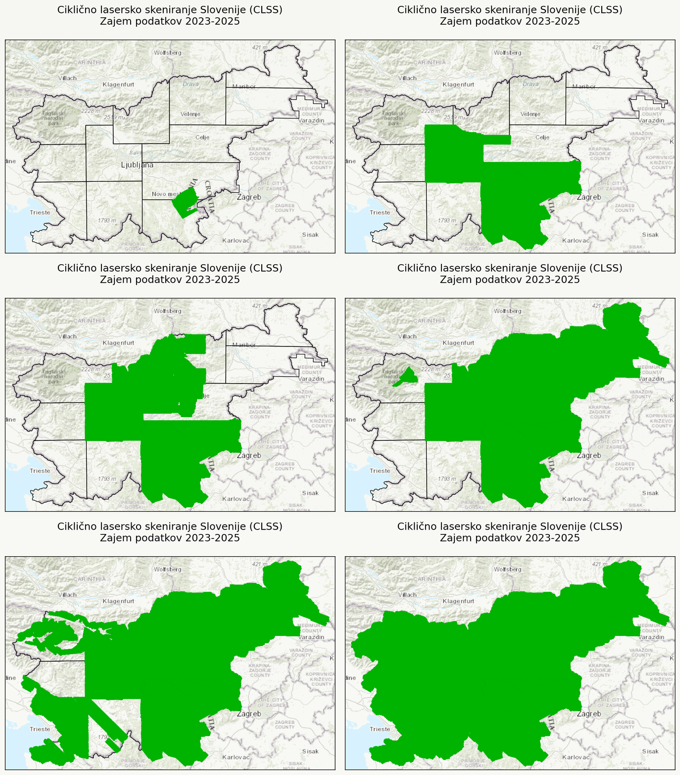
Between 2023 and 2025, Flycom Technologies collected data as part of the “Cyclical Laser Scanning of Slovenia (CLSS)” project. Aerial acquisition of LiDAR data and RGB+NIR imagery was carried out in three phases: The animation shows the timeline of data acquisition, while the second image shows the complexity of the acquisition, where each colour represents […]
Participation in the Event “Satellite-based Services for Disaster Risk Management in Slovenia”
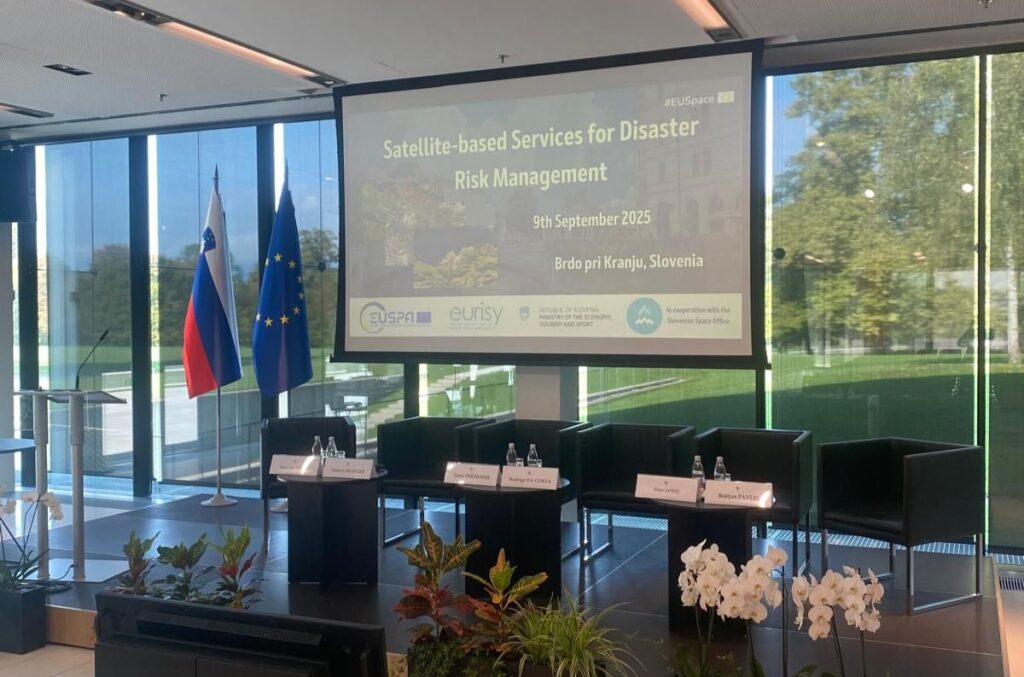
On September 9, the event “Satellite-based Services for Disaster Risk Management in Slovenia” took place at Brdo pri Kranju, organized by EUSPA (EU Agency for the Space Programme), Eurisy, the Ministry of Economy, Tourism and Sport, and the Slovenian Space Office. This national workshop is part of a series of events aimed at discussing with […]
Ajdovščina Case Study
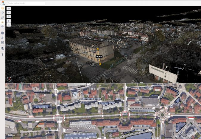
Through aerial capture and processing of the town of Ajdovščina, we have created a digital model of the town. This is an advanced smart city project that combines the integration of LiDAR and orthophoto data, the creation of a 3D model, and advanced spatial analysis. The integration of the captured data enables: GIM International magazine […]
Impressions from our two-day team building in the beautiful Goriška Brda mountains
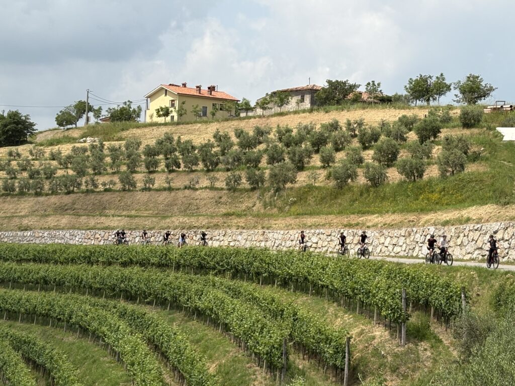
We have had a wonderful and active time in Goriška Brda – two days of laughter, varied activities and good company, which gave us a new impetus. We tried our hand at an adrenaline park, zip-lined across the Soča River, tasted fine wines and local delicacies, and cycled through picturesque views. A few glimpses captured […]
Presentation for students of the Faculty of Civil Engineering and Geodesy (FGG)

Yesterday, as every year, we were visited by students from the Master’s programme in Geodesy and Geoinformatics. We have prepared presentations and practical workshops for students of the Faculty of Civil Engineering and Geodesy (FGG) in our fields of work. They were introduced to our ALS and MLS projects, how to capture data, an overview […]
Review of the previous year

We enter the new year with excitement about the projects and challenges ahead. But before we fully bid farewell to 2024, we’ve prepared a recap of our key business achievements. Last year, due to the expansion of the company and the increased volume of work, we moved to new premises. We are now located on […]
Happy 2025!

We wish you a Merry Christmas and all the best in New Year. May 2025 bring you plenty of business success and fulfilment in life. Flycom Techologies team
New CLSS portal brings advanced laser scanning data to the palm of your hand

Cyclical laser scanning data is available for viewing and download on the new portal https://clss.si. In addition to viewing and downloading, the portal also allows you to perform simple measurements (points, distances, areas (3D), and angles), view coordinates with the date of capture, and share views. You can learn more in the short presentation video. […]
Flycom successfully completes Multidimensional Sustainable Space Modelling project
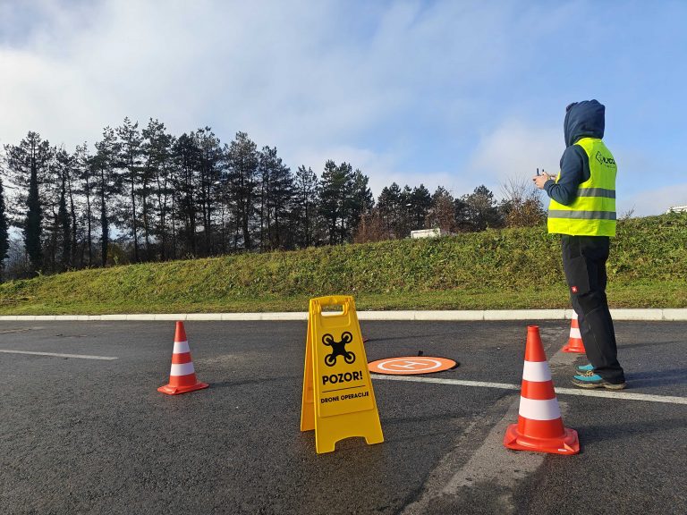
In the framework of the Call for Proposals Supporting Start-up, Micro, Small and Medium Enterprises in Strategic Sustainable and Circular Business Transformation 2022-2025 (JR STKTP NOO 2022-2025), which aims to target at least 200 companies, we have successfully completed a multi-dimensional sustainable spatial modelling project. With the funds raised, we set up a drone operations […]
Successful implementation of the “LIFT Forest – eVTOL AI” project for forest biomass analysis in the framework of the DEMO PILOTI NOO JR
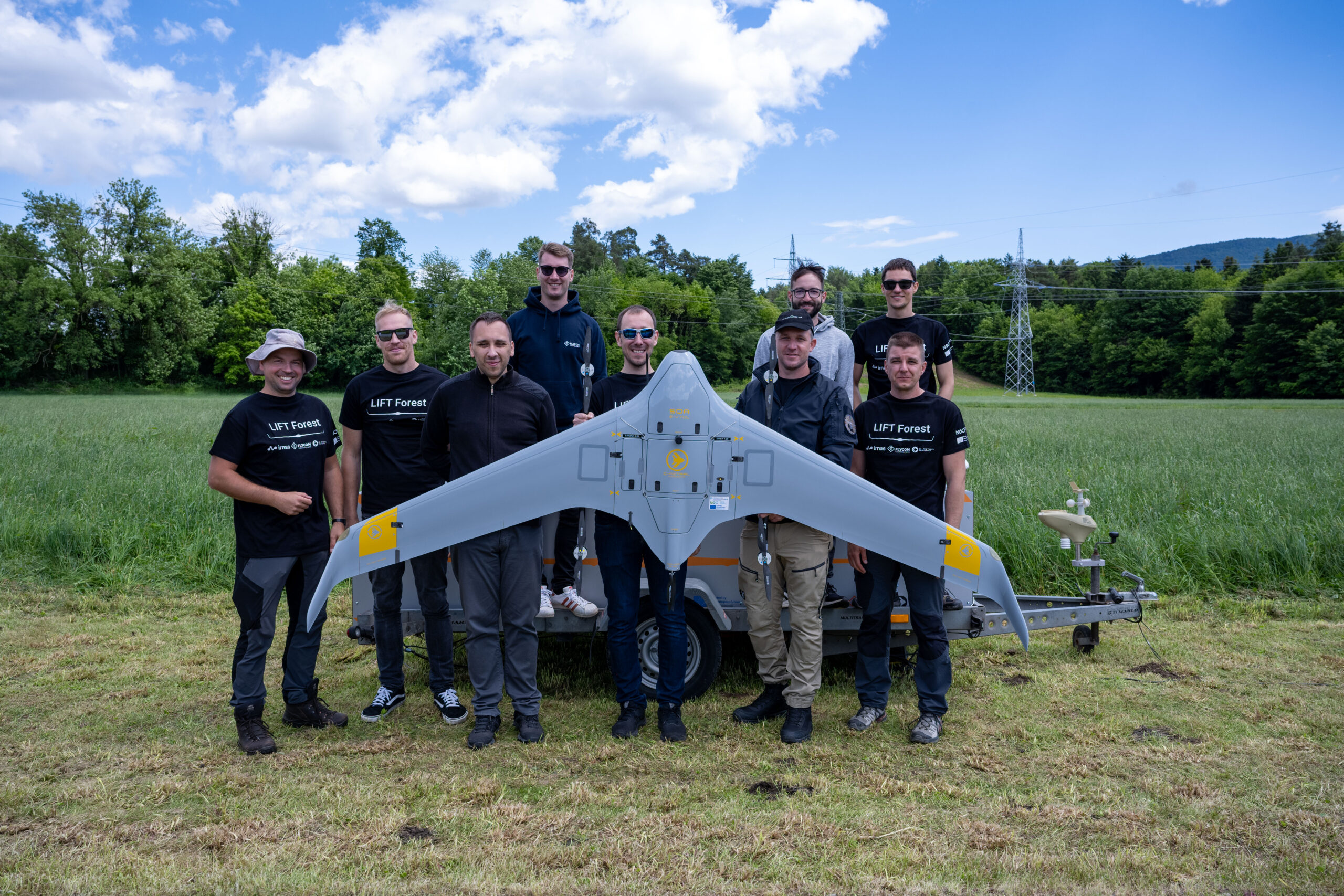
The consortium of partners Flycom Technologies, C-Astral and IRNAS is successfully advancing the project “LIFT Forest – eVTOL AI”, which is being implemented in the framework of the Call for Pilot Demonstration Projects for Recovery and Resilience (NOO). The project combines advanced technologies for forest management and the use of drones equipped with technologies such […]