As part of the ESA project, we co-organized and led the event “Digital Twin of Slovenia – First Insight“.
The meeting on March 29, 2026, in Planica, was dedicated to the first insight into the project results, the importance of the Digital Twin of Slovenia at national and operational levels, support for preparedness, response, and action in the event of natural disasters, and a discussion on the further development of the Slovenian space sector based on Earth Observation (EO). The event was attended by key stakeholders of the digital twin and the European Space Agency (ESA).
This is a presentation of the significant project “Digital Twin of Slovenia” (hereinafter DTSI), implemented by the following consortium members: Flycom Technologies, the Faculty of Civil and Geodetic Engineering of the University of Ljubljana (UL FGG), Sinergise, GeoCodis, the Slovenian Centre of Excellence for Space Sciences and Technologies (SPACE-SI), C3M, Flai, and the Geodetic Institute of Slovenia (GZS).
The key objectives of the DTSI project are: to establish advanced natural resource management modules, to convert Earth Observation (EO) capabilities into concrete operational results for civil protection, and to ensure better preparedness in the event of natural disasters. The project focuses primarily on water resources and disaster risk management, particularly floods and landslides, while supporting climate change adaptation and the green transition through integrated data-driven services.
The project intertwines two parts that together ensure a high-quality presentation of results in the form of interactive stories and scenarios. This ensures that results are not limited to technical reports but instead create intuitive, exploratory narratives that allow stakeholders to better understand impacts, compare options, and perform advanced “what-if” scenario testing in space and time.
The DTSI Core platform provides:
- integration of EO data; data repository infrastructure (API);
- data management and visualization to support analytics, modeling, and simulations;
- integration with European services and ecosystems (such as DestinE, Geohazards TEP, CDSE);
- open components based on standards to ensure long-term sustainability and scalability.
The essence of DTSI Apps is the demonstration of capabilities through concrete, user-oriented applications based on interactive storytelling. These applications allow users to:
- explore flood risk and response scenarios (hydrological conditions, river and lake water levels, impacts on land use and infrastructure);
- explore flood and landslide risk and mitigation scenarios (situational awareness, short-term impact forecasts, risk reduction options);
- explore climate adaptation and green transition scenarios (evidence for planning, resilience measures, infrastructure optimization).
Each application is designed to transform complex analytics into clear narratives through interactive exploration—layer switching, time sliders, scenario comparison, and impact visualizations—thereby supporting civil protection, public authorities, planners, and sector experts.
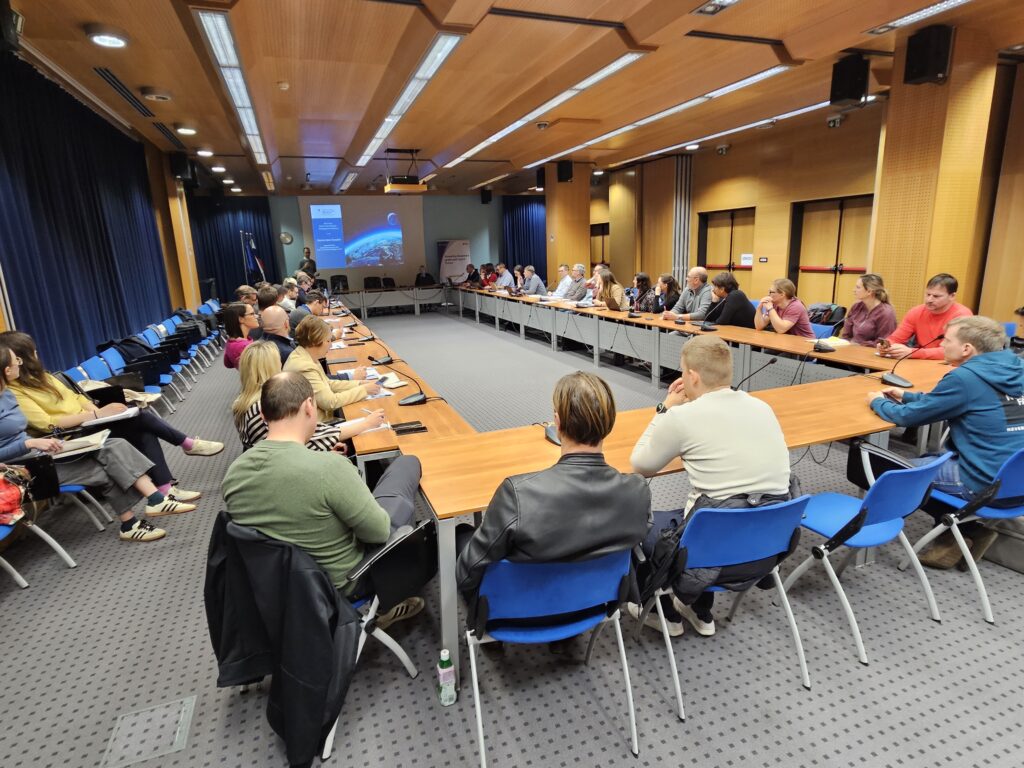
As part of the event, we also organized a workshop that took place on March 30, 2026, in Ljubljana. At the workshop, we presented the emerging Digital Twin of Slovenia platform to stakeholders and the interested public, emphasizing how the European Commission initiative (EC; DestinE initiative) and the European Space Agency (ESA) can support future natural disaster risk management and strengthen existing operational links. We discussed operational processes, critical points, legislative frameworks, understanding information flow, data requirements, and the interdependencies of the process chain.
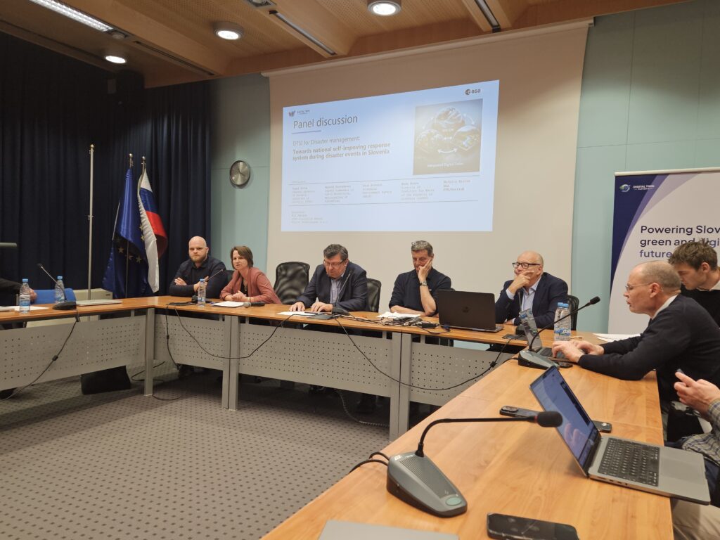
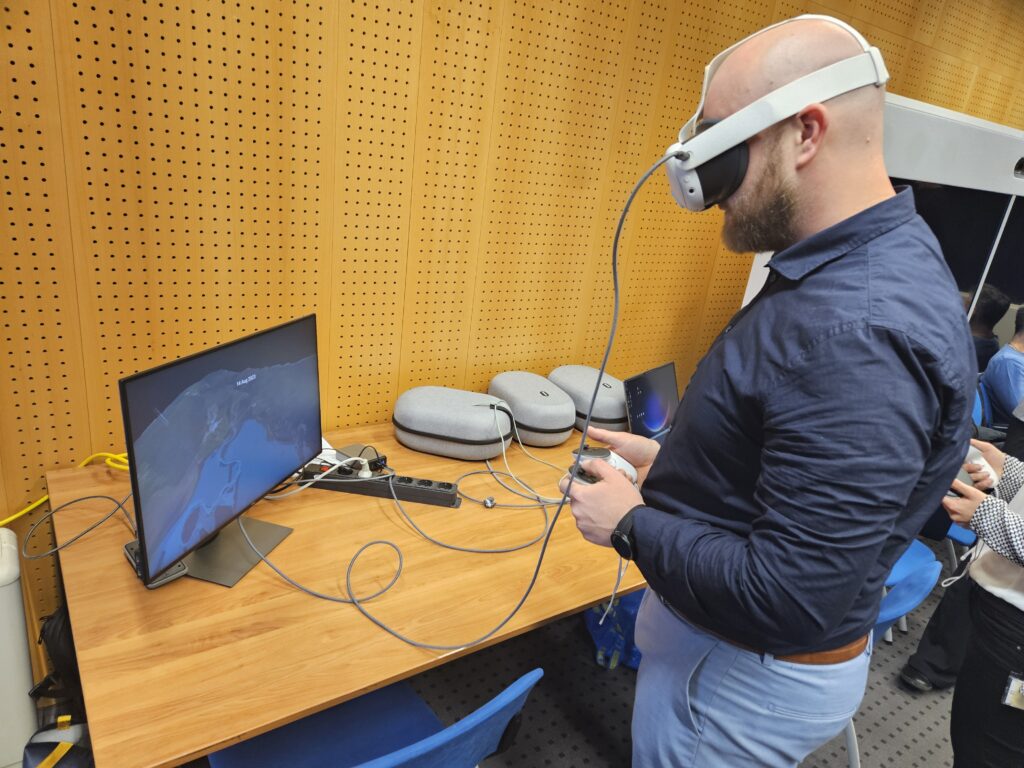
The event was further enhanced by an extremely interesting panel discussion (round table), where key experts and stakeholders shared their insights into the course of disaster management in Slovenia. Participants were also able to experience the first-person use of the Digital Twin of Slovenia in the form of virtual reality via VR goggles.
Brief overview of the program and speakers:
Sunday, March 29, 2026, Planica (Main Event)
- Opening Welcome – Nataša Kos, MSc, Deputy Director of the SPIRIT Slovenia Public Agency.
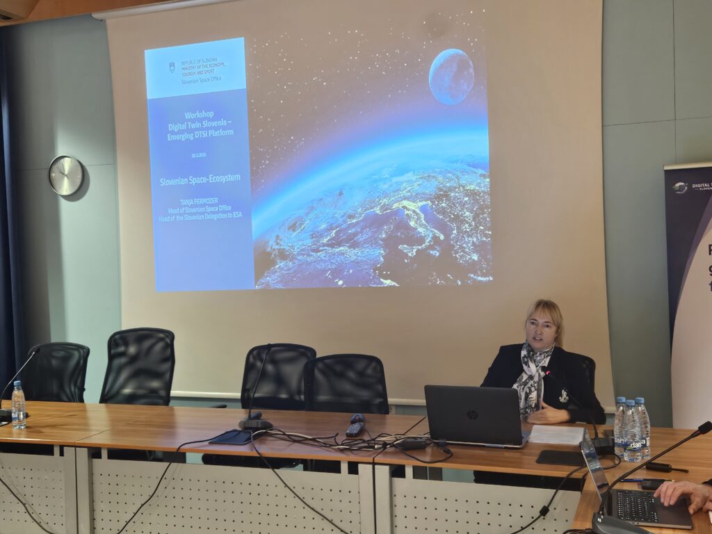
- Presentation of the role of the Slovenian Space Office (MGTŠ) – Tanja Permozer, Head of the Slovenian Space Office and Vice-Chair of the European Space Agency Council.
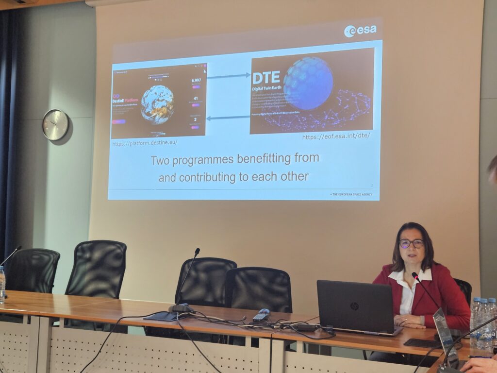
- Presentation by representatives of the European Space Agency (ESA, DTE, DestinE) – Rune Floberghagen, Head of the Climate Action, Sustainable Development & Science Department; Dr. Gordon Campbell, Head of the Resilience and Competitiveness Section; and Kathrin Hintze, Head of the Ecosystem Development Section.
- Presentation of the DTSI project – Prof. Dr. Tomaž Rodič from the SPACE-SI Centre of Excellence; Anže Žnidaršič, Head of the Software Solutions Department at Flycom Technologies; Vid Jakopin, Head of the Remote Sensing Department at Flycom Technologies; Grega Milčinski from Sinergise; and Prof. Dr. Krištof Oštir, Full Professor at the Faculty of Civil and Geodetic Engineering, University of Ljubljana.
Monday, March 30, 2026, Ljubljana (Workshop)
- Opening Welcome – Tanja Permozer, Head of the Slovenian Space Office and Vice-Chair of the European Space Agency Council.
- Presentation of the European Space Agency (ESA, DTE, DestinE) – Kathrin Hintze, Head of the Ecosystem Development Section.
- Presentation of the project
DTSI-P Core – Anže Žnidaršič, Head of the Software Solutions Department at Flycom Technologies;
DTSI-P Apps – Prof. Dr. Tomaž Rodič from the SPACE-SI Centre of Excellence;
Insight into the DTSI project vision – Vid Jakopin, Head of the Remote Sensing Department at Flycom Technologies. - Panel Discussion – Tomaž Petek, Director General of the Surveying and Mapping Authority of the Republic of Slovenia (GURS); Matevž Brataševec, Coordinator for Civil Protection and General Affairs at the Municipality of Ajdovščina; Aleš Poredoš, Deputy Director of the Meteorological, Hydrological and Oceanographic Office at the Slovenian Environment Agency (ARSO); Neža Kodre, Director of the Slovenian Water Agency (IzVRS); and Dr. Nicolaus Hanowski, Head of the Ground Segment and Mission Operations Department at the European Space Agency (ESA). The panel discussion was moderated by Vid Jakopin, Head of the Remote Sensing Department at Flycom Technologies.
The project will conclude in July 2026, when the final results will be published in the form of applications. Until then, we invite you to read and see more about the project on the official DTSI project website: digitalnidvojcek.si.
Image gallery from the DTSI event in Planica
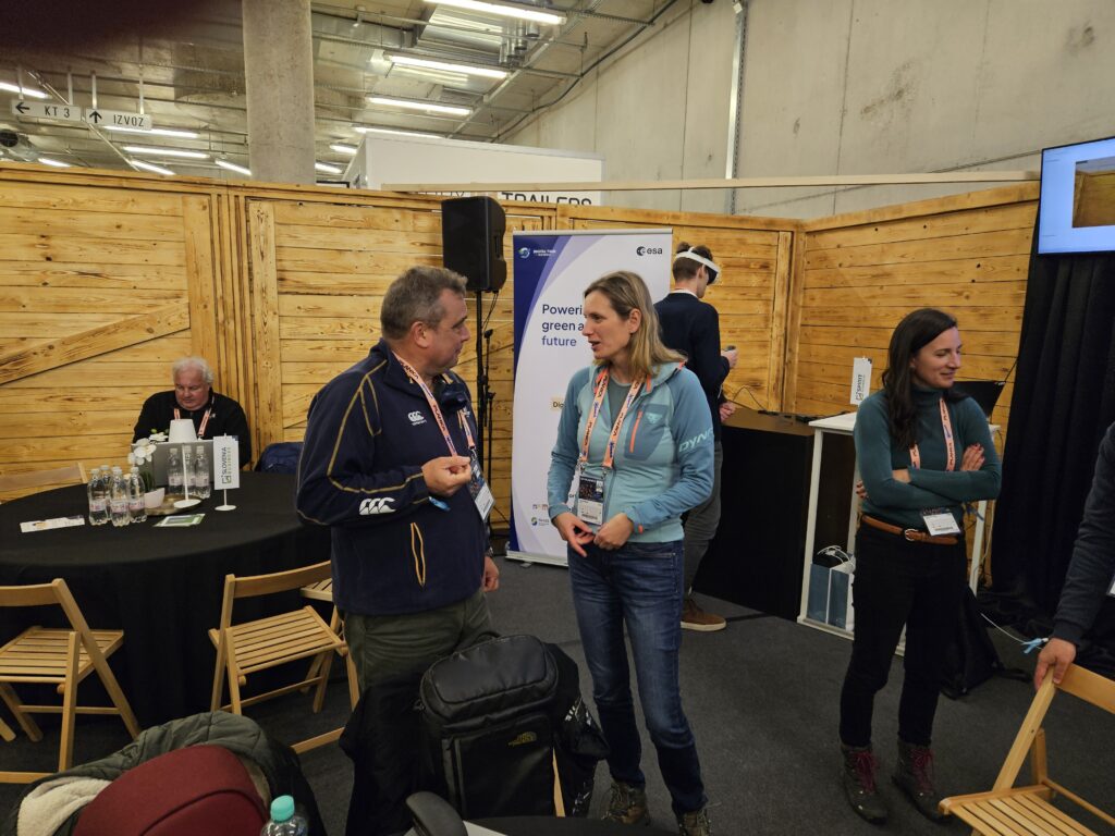
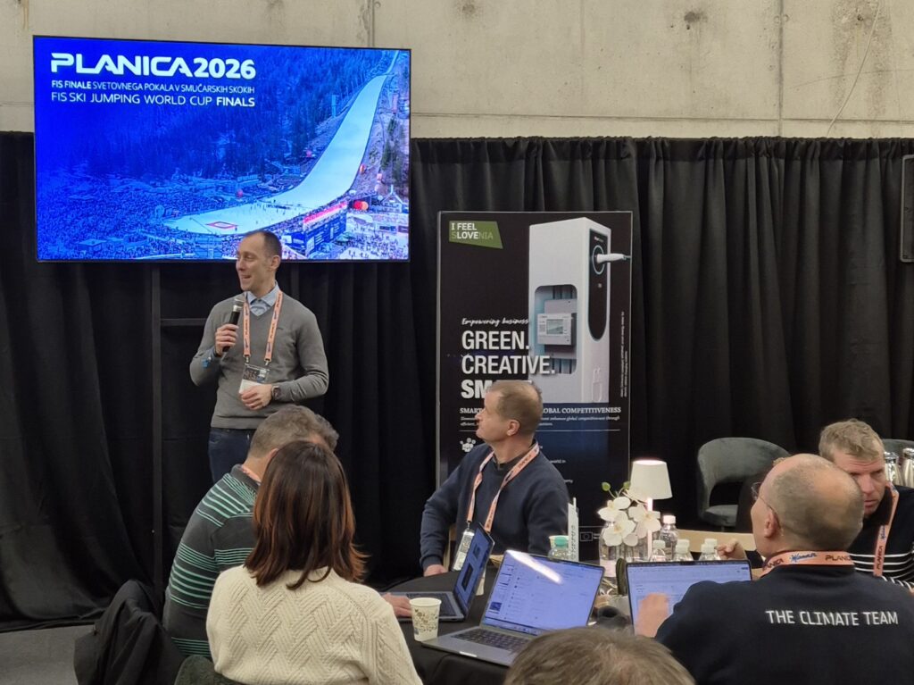
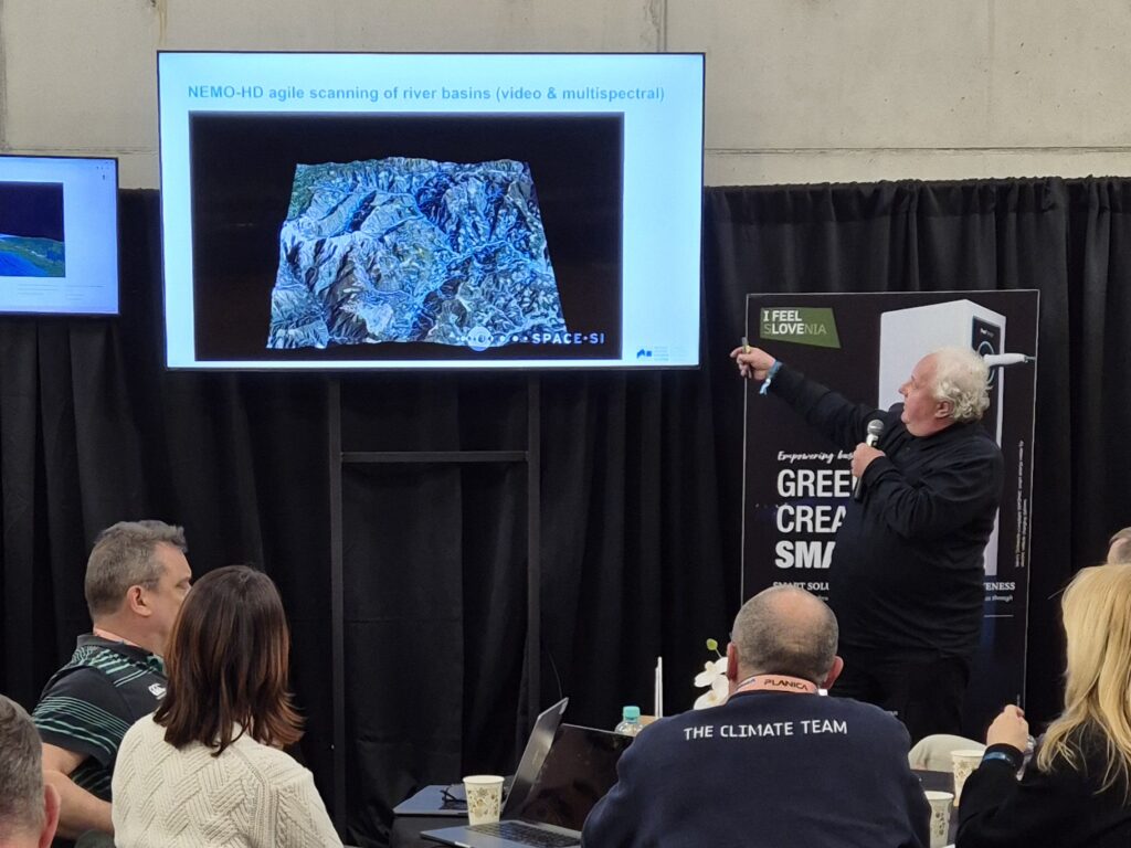
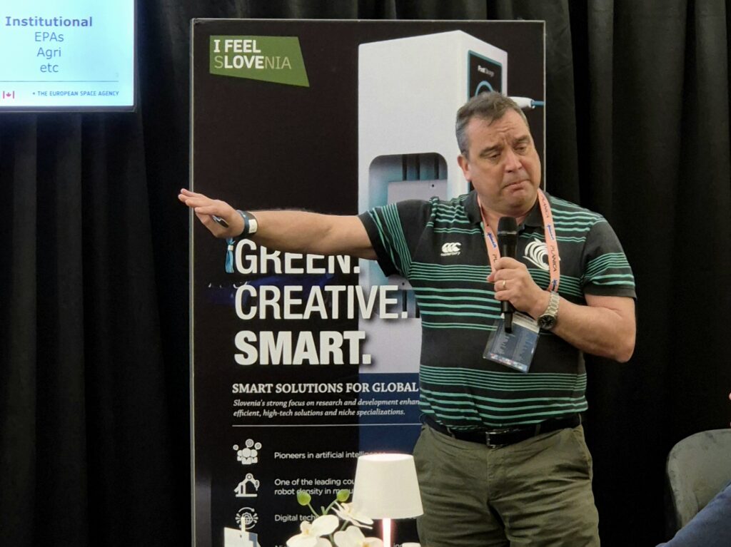
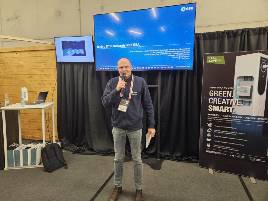
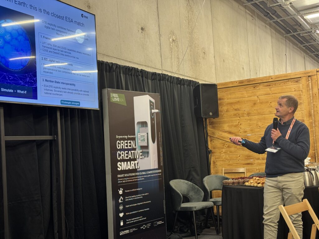
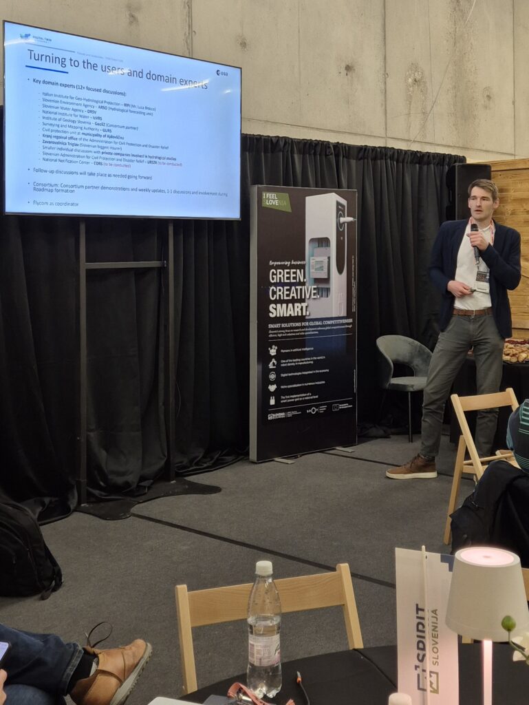
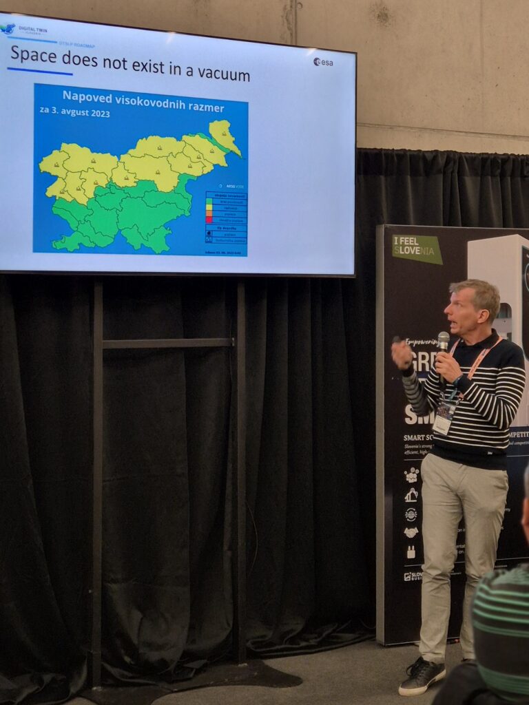
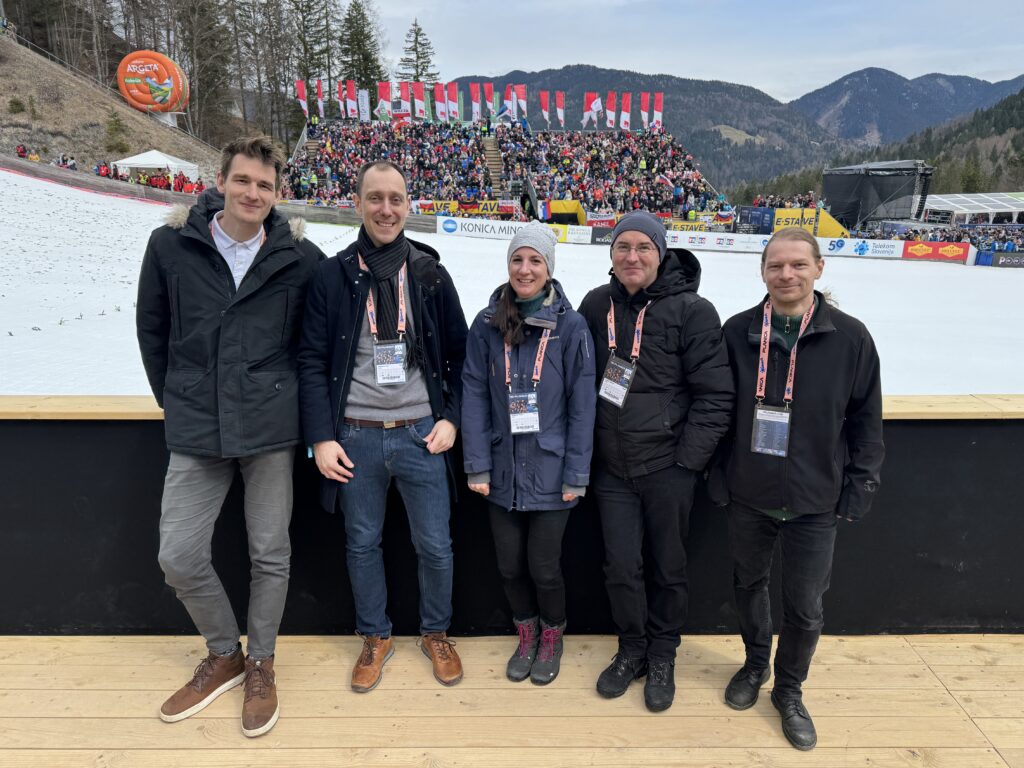
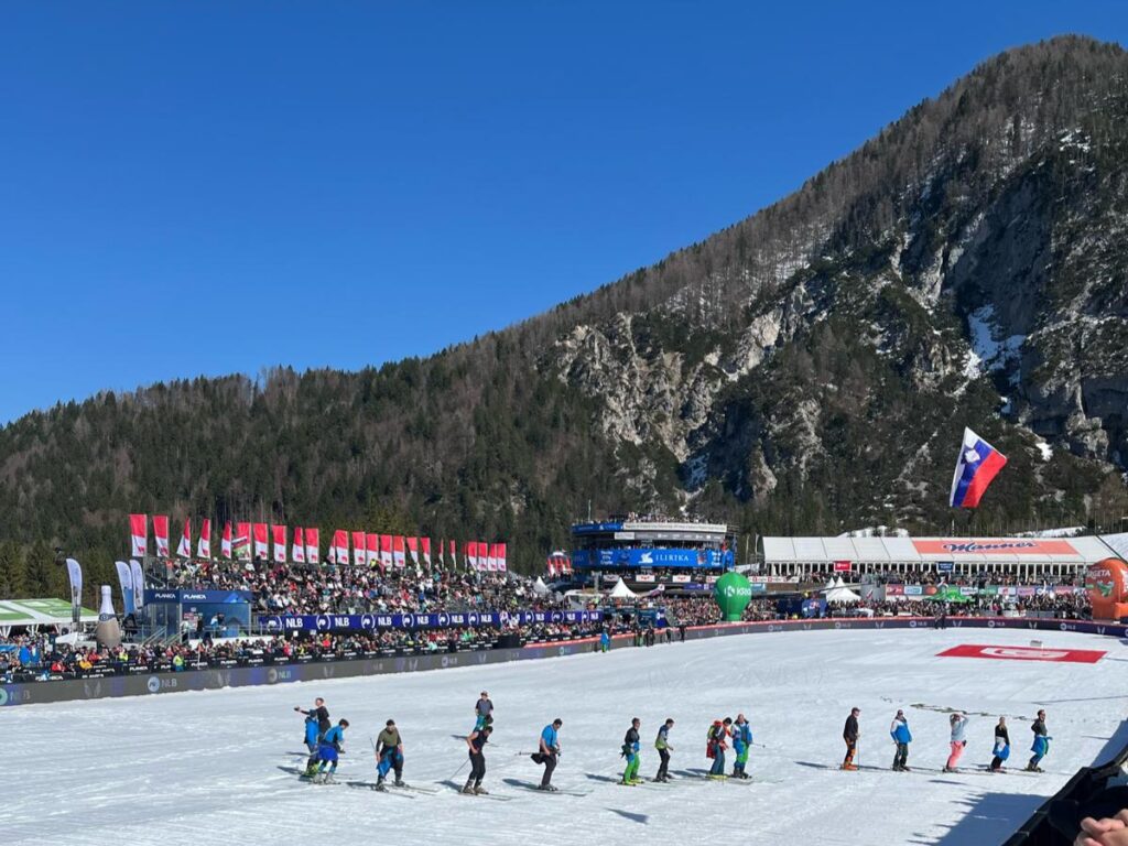
Image gallery from the DTSI workshop in Ljubljana