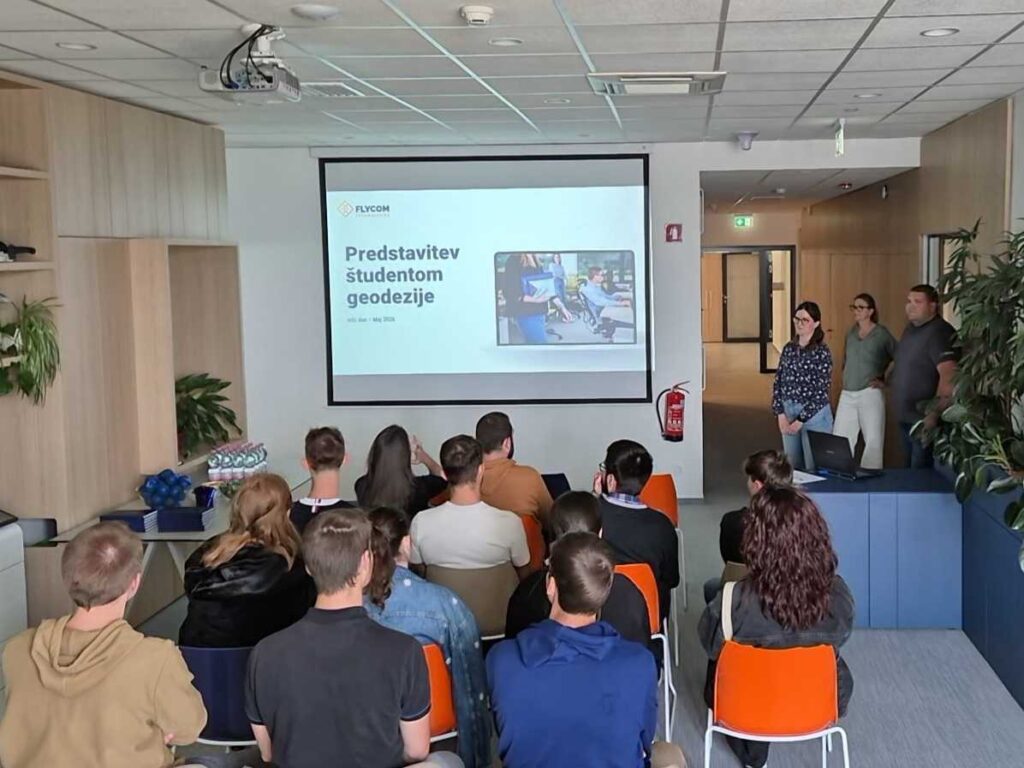
The year has come full circle, and once again we have prepared a brief presentation and various workshop modules for students of the Faculty of Civil and Geodetic Engineering (FGG, UL).
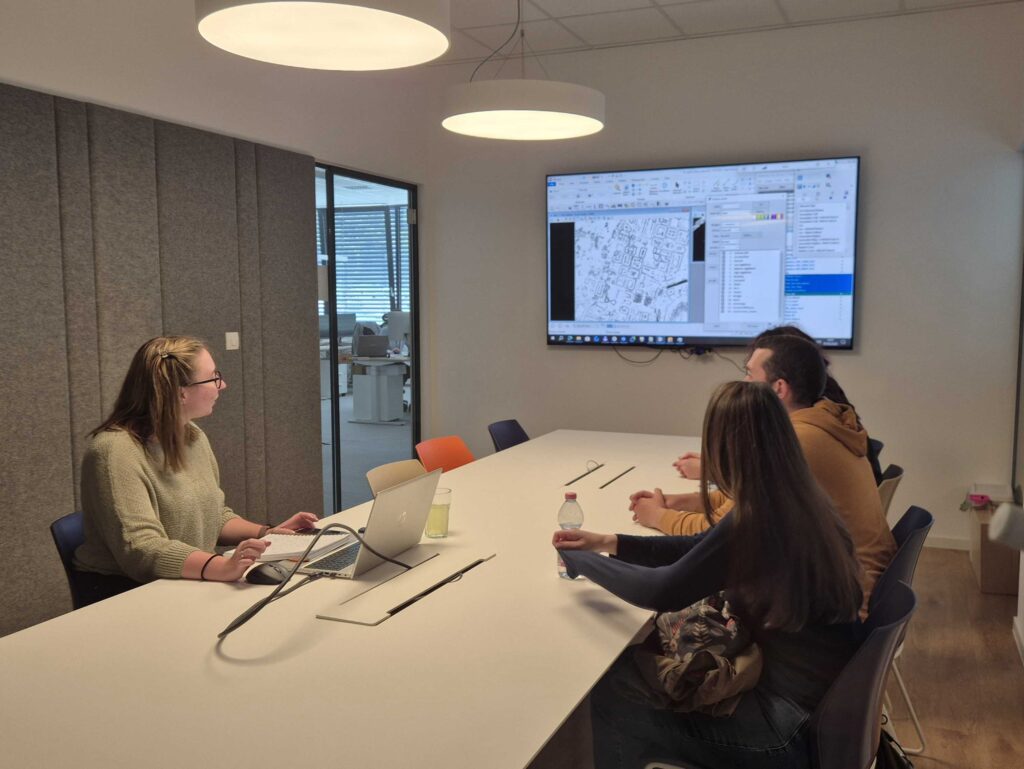
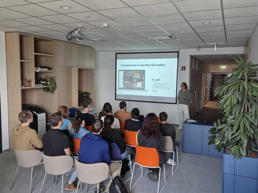
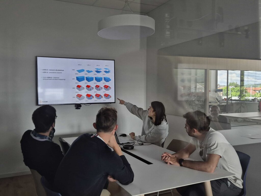
We presented in detail the work areas of our operators, how images are transformed into orthophotos, the laser point cloud classification process, and the quality control (QC) procedure. Students also had the opportunity to learn about the work of the GIS department, the segmentation and 3D modeling process, and the development of solutions and tools based on artificial intelligence (AI).
This time we have also prepared a small challenge for students—we are collecting creative ideas and suggestions. On Friday, the 15th 5. 2026, we will review them and reward the author of the best proposal.