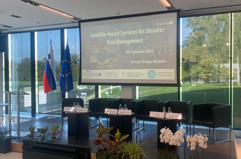
On September 9, the event “Satellite-based Services for Disaster Risk Management in Slovenia” took place at Brdo pri Kranju, organized by EUSPA (EU Agency for the Space Programme), Eurisy, the Ministry of Economy, Tourism and Sport, and the Slovenian Space Office.
This national workshop is part of a series of events aimed at discussing with users the challenges and benefits of integrating satellite services into work related to disaster risk management.
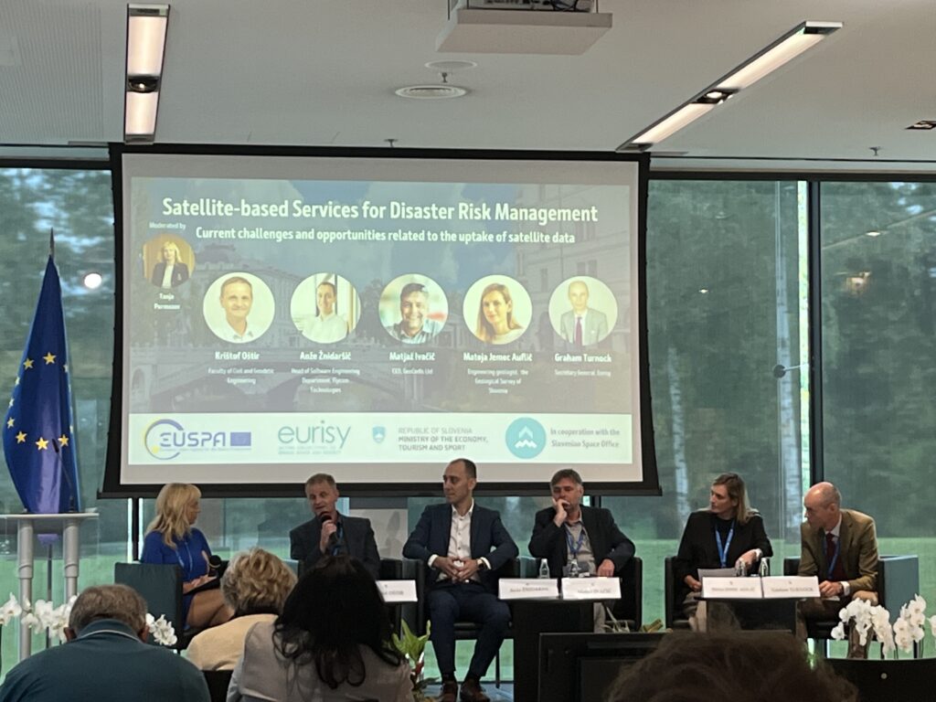
Through practical examples, participants discussed the integration of satellite data from the EU space program into more effective risk management at the national level.
The event included practical presentations and panel discussions, with Anže Žnidaršič, head of the GIS department, participating as a representative.
Flycom Technologies offers advanced solutions for analyzing integrated satellite and remote sensing data. By using artificial intelligence, we enhance this data to help insurance companies, government agencies, and others in analyzing natural disasters and monitoring environmental recovery.
The workshop also included a live demonstration of how space technology can provide a rapid response in case of emergencies. This technology is currently being tested and will eventually be used to mass-alert populations in areas threatened by natural or man-made disasters. It will improve current capabilities by reaching areas without a terrestrial signal.
You can read more about the participants and the event at the following link and gov.si website.