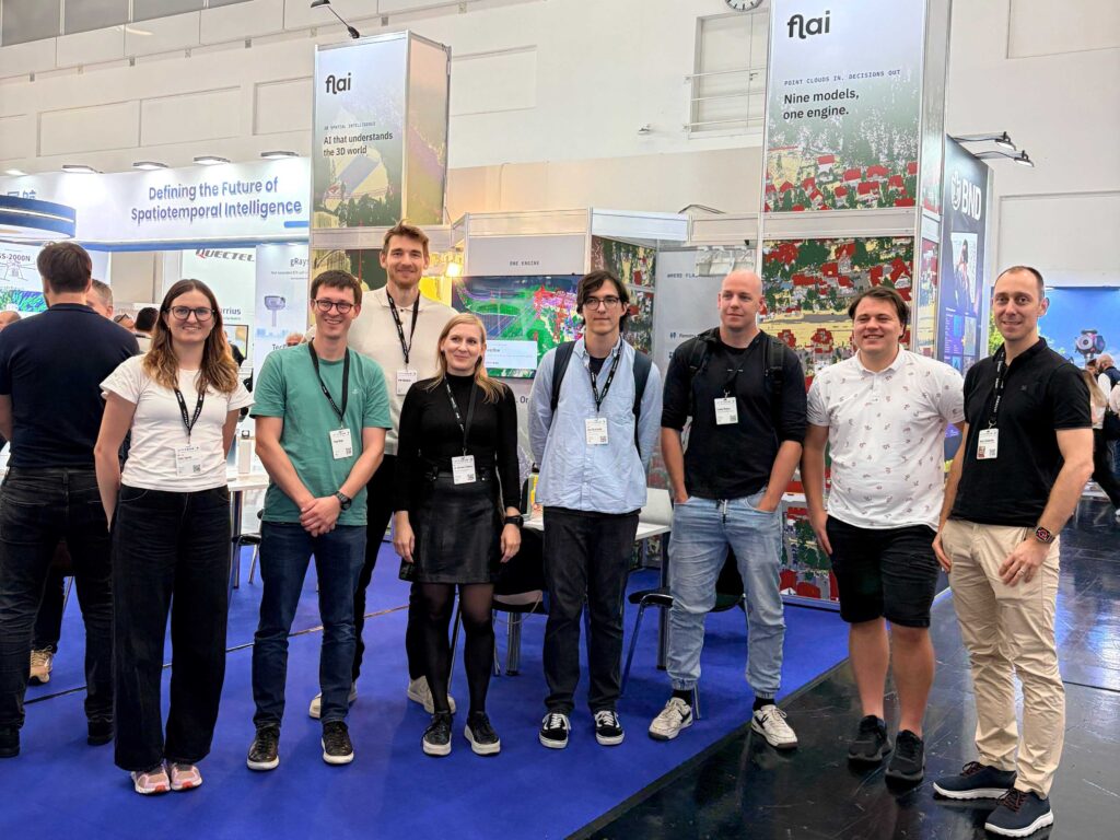
INTERGEO once again demonstrated this year how rapidly the field of geodesy, geoinformatics, and spatial data is evolving. From new data acquisition methods to artificial intelligence and increasingly integrated digital solutions.
Yet alongside tracking technological progress, an important part of the fair remains networking—meetings with partners, conversations with experts, exchange of experiences, and opportunities for new collaborations.
Key highlights for Flycom Technologies:
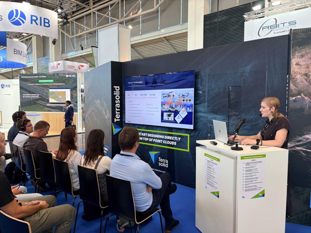
🎤 Presentation by Dr. Barbara Žabota as part of the TERRASOLID Theatre
Barbara presented the lecture Scaling Airborne Laser Scanning: Lessons from National Projects, sharing experiences from executing large-scale national laser scanning projects, challenges in processing large volumes of data, and the scope of the Digital Twin Germany project for BKG.
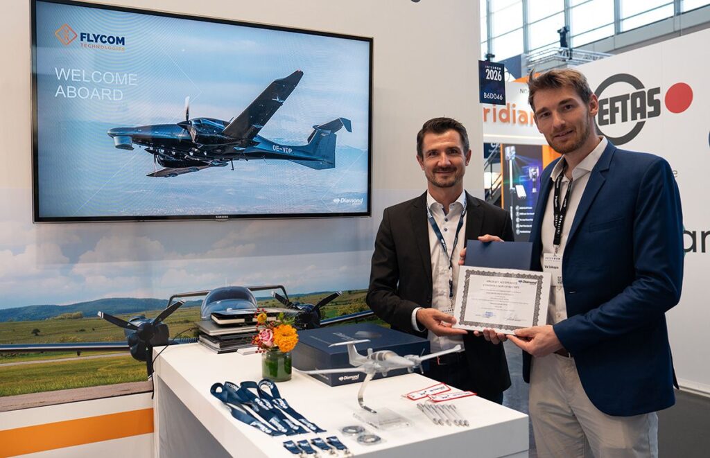
✈️ Handover of the new DA62 MPP SurveyStar aircraft
The new Diamond aircraft enables an upgrade of aerial operations and represents an important step in the further development of our capabilities for executing demanding large-scale projects.
INTERGEO thus remains an important nexus of technology, knowledge, and people co-creating the future of spatial data.