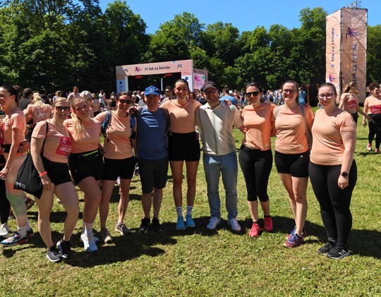
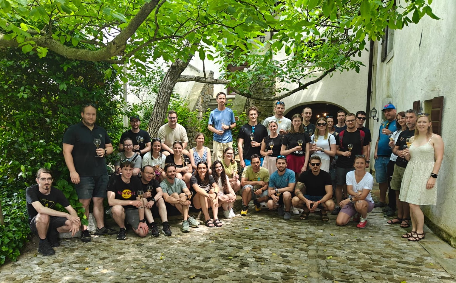
It has been a busy year for us, filled with exciting events and conferences:
Presentation for Students of the Faculty of Civil and Geodetic Engineering (FGG)
In April, we opened our doors to students, introducing them to our ALS (Airborne Laser Scanning) and MLS (Mobile Laser Scanning) projects. We gave them an inside look at data acquisition methods and the daily work of our operators. Together, we explored the capabilities of our advanced GIS viewer, LIFT, and took a deep dive into orthophoto processing, 3D mesh creation, point cloud classification, and quality control (QC) procedures. We also showcased the preparation of geodetic plans and vectorization.
59th Photogrammetry Week
From April 1st to 4th, the annual conference themed “Advancements in Photogrammetry, Remote Sensing, and Geoinformatics” took place in Stuttgart. Our team was impressed by the diverse program, which included excellent lectures on ArcGIS Reality, machine learning, and automated big data processing. Special focus was placed on digital twins and the use of AI for semantic segmentation of point clouds, enabling a transition from raw measurements to an intelligent understanding of spatial data.
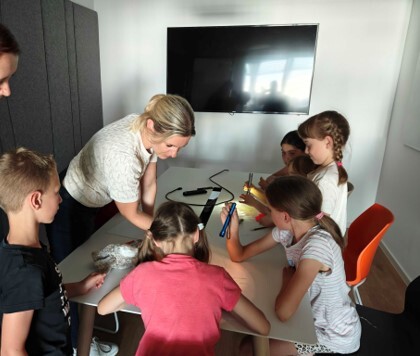
Open Company Day for Employees’ Children
In June, we hosted a very special event – open company day for our employees’ children. The goal was to show the children where their parents work and explain our company’s activities in a fun and accessible way. The kids had the chance to interact with spatial data acquisition technology, remote sensing equipment, and the world of point clouds in an interactive environment. Their curious faces created a wonderful atmosphere, and the event was a hit with children and parents alike.
Participation in the ESA Living Planet Symposium 2025
The European Space Agency (ESA) organized its flagship Earth Observation (EO) event in Vienna from June 23rd to 27th. The central theme focused on solving global challenges such as climate change, sustainable development, and digital transformation. Across more than 120 sessions and workshops, the focus remained on:
- Sustainable development
- Artificial Intelligence (AI)
- Climate change
- Advancements in the European Copernicus program The event also featured various industrial exhibitors, panel discussions, and networking opportunities with leading experts.
FOSS4G Conference in Mostar
In July, our employees attended the FOSS4G EUROPE event in Mostar. FOSS4GE is a conference dedicated to open-source geospatial software in Europe and is part of the annual Open Source Geospatial Foundation (OSGeo) series. OSGeo is the largest international organization bringing together developers and users of open-source geospatial software. The event promotes the development and use of open-source tools and encourages collaboration between organizations and individuals.
Annual Surveying Day in Slovenia (Geodetski dan)
In October, we attended the 53rd Surveying Day in Slovenia, at Čatež ob Savi. Anže Žnidaršič and Tinkara Langus represented our company as speakers, presenting on the topics of spatial energy planning and the recording of energy infrastructure. Amidst many insightful lectures, we utilized the event for company promotion and professional networking. We were also proud to support the event as a Gold Sponsor.
Space Innovations for a More Sustainable Life on Earth
On November 13th, the Faculty of Social Sciences (FDV) organized a round table titled “Space Innovations for a More Sustainable Life on Earth.” The event hosted researchers and industry experts sharing experiences in space research. Our Head of Remote Sensing, Vid Jakopin, was invited as a guest speaker to discuss the vital role space innovation plays in sustainable development.