Government and Smart Communities
At Flycom, we consider location as a critical point around which data interpretations should be made.
Almost everything can be pinpointed into the space, therefore spatial visualisation and analyses are critical for effective organisation of governmental departments and smart communities.
The use of GMS-GIS in government and smart communities:

LAND REGISTRY
- Manage precise and accessible property records
- Create, update and maintain land information
- Connect all the sections in land administration
TAX AUTHORITIES
- Simplify and facilitate property tax collections
- Utilise comprehensive tax maps and tax records
- Connect tax and parcel data
- Comprehensively compare present and past tax information


MUNICIPALITIES
- Make use of an extensive database – health, environment, security, education, etc. data
- Efficiently exchange data between different departments
- Provide data for internal and external users
- Make use of statistical information about the critical areas
SMART COMMUNITIES
- Manage, share and visualise real-time data retrieved from different sensors across your community
- Combine various types of data, ranging from enterprise data and social media data to data retrieved from sensors and maps, satellite imagery data etc.
- Enhance life quality of your citizens by locating and addressing pain points in the community infrastructure network
- Improve business environment by making your city safer, liveable, healthy and sustainable

Key advantages
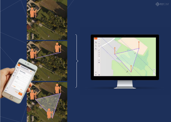
GMS-GIS can be used for import, maintenance and management of land records. It enables efficient work for field teams assistance and it is compatible with mobile phones, tablets, etc.

GMS-GIS allows user the oversight of survey data, deed examination, property information and property valuation. It provides essentials for efficient management of land records.

With GMS-GIS it is possible to obtain accurate and precise data about land valuation, perform trend analyses and calculate impact estimation. It also shows the map of anomalies.

GMS-GIS offers project dashboards and scenario analyses. It provides complete project insight necessary for effective decision making. One of the advantages are also visualisation gadgets (of the sales impacts, foreclosures, etc.)

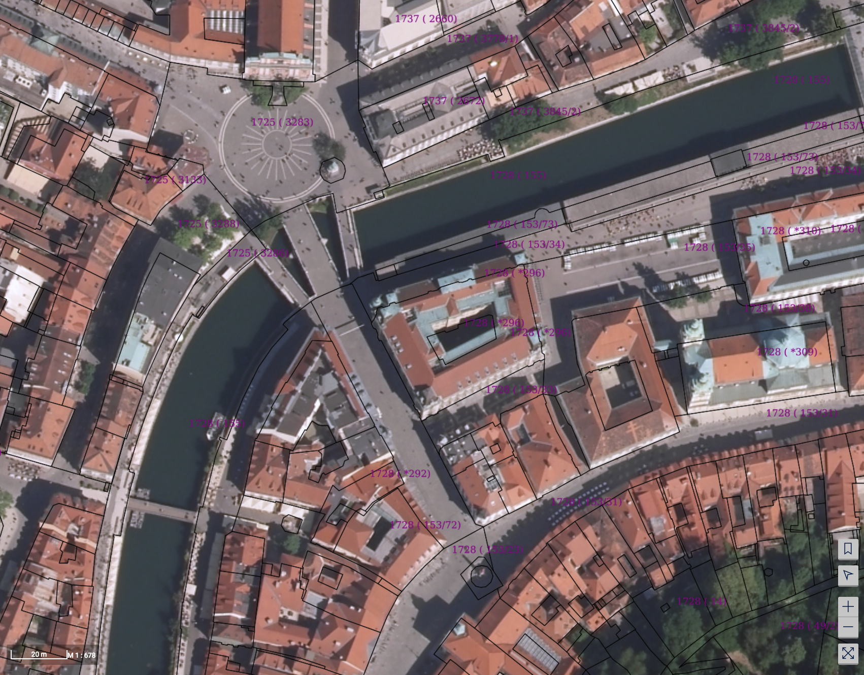
One of the GMS-GIS main advantages is also e-governance via public viewer of land records. It enables general public to inspect parcels and their informations via intuitive and easy-to-use interface.

GMS-GIS with its land administration suite ensures topological parcel consistency, autonomous topology creation, integrity between cadastral datasets, geometry creation and other features required by land administration stakeholders.

